Floods
Peace Health at “Riverbend”
www.pacinfo.com/~osprey/No-at-Rvrbnd.ppt.zip
David Rodriguez
www.lanecounty.org/PW_LMD/images/two.gif
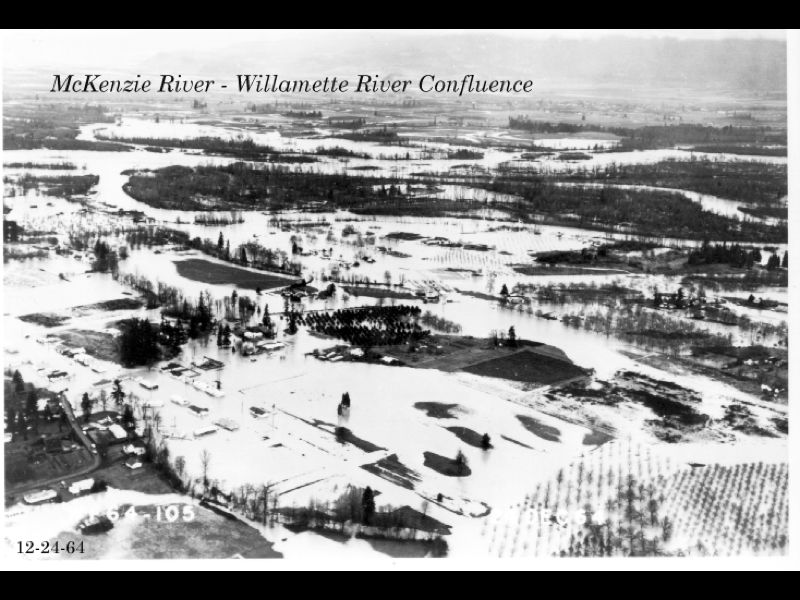
Lane County Land Management Division website has photo of the 1964 flood
on the McKenzie River near Willamette River confluence
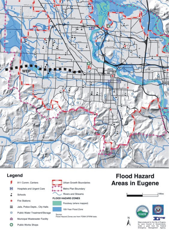
West Eugene sprawl: WEP, Target and Royal Node
www.ci.eugene.or.us/HRRS/EmerPlan/mapsprfloodhaz.pdf
Largest flood plain in CIty of Springfield is location for Peace
Health
Largest flood plain in City of Eugene is proposed location for Royal Nodal Development
The “Target” store at 11th and Beltline was built in the 100 year
floodplain
(source: West Eugene Parkway, 1990 Final Environmental Impact Statement, p. 50)
WEP / BL interchange would be largely in the floodplain
www.ci.eugene.or.us/HRRS/EmerPlan/mapeugfloodhaz.pdf
Map of Floodplains from Lane Council of Governments
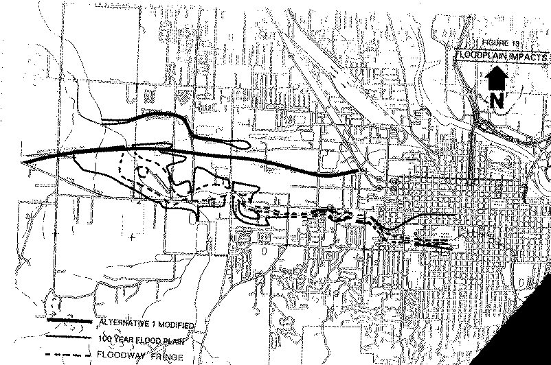
There is a reason why West 11th was built where it is -- the current route avoids most of the floodplain of Amazon Creek.
In contrast, the WEP would have maximum impact on the Amazon floodplain.
1990 West Eugene Parkway Final EIS
the WEP route would cut across the maximum area of
Amazon Creek floodplain
(note also that the new "Target" store was built in the floodplain)
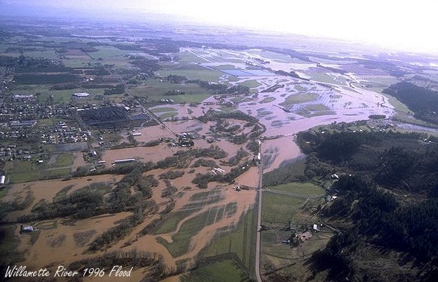
1996
http://www.wrh.noaa.gov/images/pqr/96flood.jpg
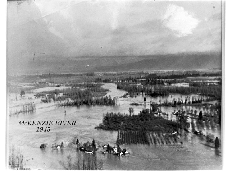
Flood photos: 1945 and 1964